Ocean Current Mapping with Deep Learning Techniques
Earth’s oceans are a dynamic network of ocean currents that influence weather, climate, marine ecosystems, and human activities. Accurate mapping of these currents is crucial for:
- Climate modeling and prediction
- Fisheries management
- Maritime navigation and safety
- Environmental monitoring
- Scientific research
Historically, scientists relied on ship observations, drifting buoys, and satellite radiometry. Today, deep learning can process vast oceanographic datasets—satellite imagery, Argo floats, and reanalysis products—to uncover patterns that were previously hidden.
The Science Behind Ocean Currents
Ocean currents are driven by wind stress, the Earth’s rotation (Coriolis force), differences in water density, and the interaction with coastlines. They are categorized as:
- Surface currents: directly affected by wind (e.g., Gulf Stream)
- Subsurface currents: governed by density variations (thermohaline circulation)
- Mesoscale eddies: swirling structures circulating wind energy
The
Wikipedia page on Ocean Currents provides an excellent overview of the mechanisms and classification.
Traditional Data Collection Methods
- Drifting buoys: release a GPS‑equipped float and record temperature/salinity.
- Argo profiling floats: dive to 2000 m, surface, and release current profiles every few days.
- Satellites: measure sea‑surface height, sea‑surface temperature (SST), and wind vectors.
- Reanalysis datasets: blend measurements and numerical models (e.g., the NOAA Ocean Gravity Recovery and Altimetry dataset).
While valuable, these methods face limitations such as sparse spatial coverage, temporal gaps, and high operational costs.
Enter Deep Learning: Transforming the Field
Deep learning, a subset of machine learning that uses neural networks with multiple layers, excels at extracting patterns from complex, high‑dimensional data. Key advantages for ocean current mapping include:
- Multimodal fusion: Combining SST, altimetry, and wind fields.
- Temporal dynamics: Recurrent architectures capture evolution over time.
- Spatial hierarchy: Convolutional layers learn scale‑invariant features.
- Scalable training: Leverage GPUs and distributed computing.
Researchers have begun to apply frameworks such as TensorFlow and PyTorch to build predictive models of current velocity fields.
Data Preparation: Cleaning & Normalization
Before feeding data into a neural network, careful preprocessing is essential:
- Spatial alignment: Reproject all datasets to a common grid (e.g., 0.25° resolution). Use tools like Euroseam for standardized coordinates.
- Temporal interpolation: Fill missing time steps using linear interpolation or Gaussian process regression.
- Feature scaling: Normalise temperature, salinity, and wind speeds to mean zero and unit variance.
- Masking coastlines: Remove land points with appropriate masks to avoid pollution of training data.
High‑quality preprocessing substantially improves model convergence and prediction accuracy.
A Prototype Architecture: Unet + LSTM Hybrid
A popular approach combines a U‑Net encoder‑decoder CNN for spatial feature extraction with an Long Short‑Term Memory (LSTM) network for temporal prediction:
- Encoder: captures multiscale spatial patterns from SST, sea‑surface height (SSH), and wind.
- Bottleneck: dense layer expresses joint latent representation.
- LSTM module: learns temporal dependencies across consecutive frames.
- Decoder: reconstructs velocity vectors (U, V components) for the next time step.
Loss functions such as Mean Absolute Error (MAE) paired with a physically‑consistent eddy kinetic energy penalty can enforce physically realistic outputs.
Training & Validation Strategies
- Cross‑validation: Split data into spatial blocks to avoid leakage from satellite footprints.
- Data augmentation: Apply rotations, flips, and random noise to bolster generalisation.
- Transfer learning: Initialise U‑Net with weights pretrained on ImageNet or large climatology datasets.
- Domain adaptation: Use adversarial loss to reduce bias between training and deployment regions.
GPU‑accelerated training on platforms like NVIDIA GPUs or cloud services (AWS, GCP) typically completes within 48–72 hours for a 50 k‑sample dataset.
Real‑World Applications
| Application | Benefit | Example Use‑Case |
|————-|———|——————|
| Climate Projection | Improved ocean‑atmosphere coupling | Upscaling the Atlantic Meridional Overturning Circulation (AMOC) forecasts |
| Marine Traffic | Automated route optimisation | Real‑time current advisories for shipping lanes |
| Fisheries | Predictive habitat mapping | Mapping productive eddies for tuna fishing |
| Disaster Response | Rapid mapping of typhoon‑driven currents | Generating evacuation routes during Cyclone Gulmac |
| Conservation | Identifying pollutant transport pathways | Tracking oil spill spread |
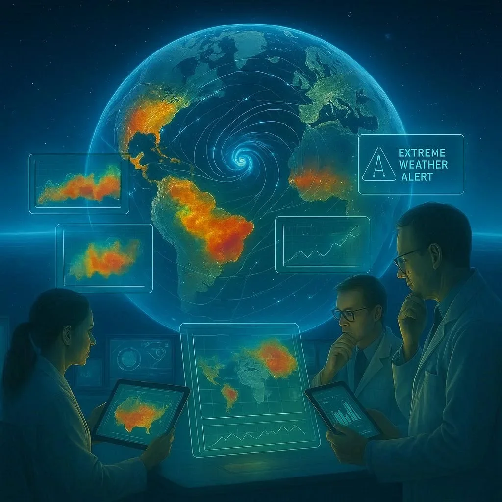
In each scenario, deep‑learning‑derived current fields provide higher spatial resolution and temporal fidelity than traditional models.
Challenges & Future Directions
- Data scarcity in remote regions – Expanding Argo deployments and radar observations will enrich training datasets.
- Generalisation across climate regimes – Multi‑domain learning and physics‑guided constraints reduce over‑fitting.
- Interpretability – Techniques like SHAP or Grad‑CAM can highlight which input features drive predictions.
- Hybrid physics‑data models – Embedding shallow‑water equations into the network’s loss function harmonises learning with ocean dynamics theory.
Ongoing collaborations between oceanographers, statisticians, and AI engineers promise more robust, explainable ocean‑current models.
Getting Started: A Step‑by‑Step Guide
- Collect Data – Download SSH and SST from the NOAA OISST database. Gather Argo temperature/salinity profiles via the ARGO Data Management Team.
- Preprocess – Use SHTOOLS to regrid, interpolate, and normalize.
- Build Model – Implement U‑Net + LSTM in PyTorch. Initialise with ImageNet weights for the encoder.
- Train – Employ a learning rate scheduler and gradient clipping. Monitor MAE and Eddy Energy metrics.
- Validate – Test on a withheld geographic region (e.g., the Southern Ocean). Compare against HR‑eSMOS model outputs.
- Deploy – Export the model as ONNX or TensorFlow Lite for real‑time usage on embedded devices.
Detailed scripts and notebooks are available on GitHub
Conclusion & Call to Action
Deep learning is reshaping the way we map and understand ocean currents. By harnessing multimodal data, sophisticated neural architectures, and rigorous validation, researchers and industry can achieve unprecedented resolution and timeliness in current forecasting. This capability not only supports climate science and maritime safety but also plays a pivotal role in resource management and environmental stewardship.
Ready to dive into the future of oceanography? Explore our open‑source repository, join the community on Twitter, or contact us for collaborative projects. Let’s chart the unseen currents together!

100+ Science Experiments for Kids
Activities to Learn Physics, Chemistry and Biology at Home
Buy now on Amazon
Advanced AI for Kids
Learn Artificial Intelligence, Machine Learning, Robotics, and Future Technology in a Simple Way...Explore Science with Fun Activities.
Buy Now on Amazon
Easy Math for Kids
Fun and Simple Ways to Learn Numbers, Addition, Subtraction, Multiplication and Division for Ages 6-10 years.
Buy Now on Amazon