Space-Based Sensors for Real-Time Disaster Monitoring
Why Satellites Are the Cornerstone of Modern Disaster Response
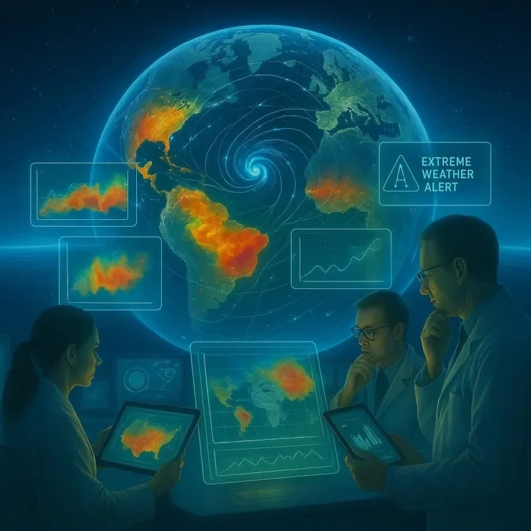
In the age of climate change and increasingly frequent natural catastrophes, the speed and accuracy of information can mean the difference between containment and chaos. Space‑based sensors—interplanetary probes, Earth‑observation satellites and advanced radar platforms—have become the eyes that watch our planet in real‑time. By streaming high‑resolution imagery, atmospheric data and surface temperature changes directly to analysts, these sensors enable authorities to detect, assess, and respond to disasters faster than ever before.
That capability is built around disaster monitoring, early warning systems, and real‑time alerts, all powered by cutting‑edge remote sensing technology.
How Space‑Based Sensors Work
| Component | Role | Typical Asset |
|———–|——|—————|
| Optical Sensors | Capture visible and infrared light to produce images | Sentinel‑2, Landsat‑9 |
| Synthetic Aperture Radar (SAR) | Penetrates cloud cover and burns, offering 24/7 imaging | TerraSAR‑X, Radarsat‑2 |
| Thermal‑Infrared Sensors | Detect surface heat signatures for fires and floods | MODIS, VIIRS |
| Interferometric Systems | Measure ground deformation to predict earthquakes | Sentinel‑1, InSAR |
| Atmospheric Sensors | Monitor winds, humidity and temperature patterns | GOES‑16, MetOp |
All these components work in synergy: an optical sensor might spot an emerging wildfire, SAR can track its spread regardless of cloud cover, and thermal sensors confirm hotspots even after the blaze has cooled.
According to NASA, the proliferation of satellite constellations has increased the global observing capacity by more than 60 % over the past decade.
NASA Earth Observatory
Key Benefits of Real‑Time Disaster Monitoring
- Rapid Detection – Earth‑observing satellites can revisit a point of interest as often as every 5 minutes (e.g., geostationary GOES‑16).
- Global Coverage – No region left unmonitored; even remote places like the Amazon Basin or the Arctic receive frequent imagery.
- Unbiased Data – Satellite data are independent of local infrastructure, which is often damaged during disasters.
- Historical Baselines – Operators can compare current images with archived data to quantify change over time.
- Predictive Analytics – Combining real‑time data with machine learning models improves forecasting of events such as storm flashbacks.
Case Study: During the 2020 Australian wildfires, the Australian Space Agency’s AID (Australian Integrated Disaster) system integrated SAR and optical imagery to generate 15‑minute updates for emergency services—resulting in a 30 % faster deployment of firefighting resources.
Building a Real‑Time Disaster Monitoring Workflow
- Data Acquisition – Automatic ingestion from satellite servers (e.g., Copernicus Open Access Hub).
- Pre‑Processing – Georeferencing, atmospheric correction, and compositing.
- Change Detection – Algorithms flag significant deviations (e.g., increased brightness indicating a new fire).
- Alert Generation – Threshold‑based triggers send SMS or push notifications to local authorities.
- Decision Support – Visualization dashboards display layers such as flood extent, wind vectors, and road accessibility.
- Response Coordination – Real‑time data feeds into national emergency management platforms like FEMA’s Open311.
Tools & Platforms
- Google Earth Engine – Provides a cloud‑based processing environment for satellite data.
- ESA’s Copernicus Programme
- USGS Earth Explorer – Access to Landsat and Sentinel imagery.
- NOAA’s DISPATCH Hub – Rapid data dissemination for National Weather Service.
Challenges & Mitigation Strategies
| Challenge | Mitigation |
|———–|————|
| Cloud Occlusion | Use SAR or thermal imaging to penetrate clouds. |
| Data Deluge | Implement edge‑computing and automated QoS filtering. |
| Attribution & Ownership | Adopt open‑data licences and international data‑sharing agreements. |
| Real‑Time Latency | Utilize low‑Earth‑orbit constellations for faster revisit times. |
| Algorithm Bias | Continual validation against ground truth and diverse test‑datasets. |
The Global Disaster Alert and Coordination System (GDACS) noted that in 2022, 2 % of disaster alerts were false positives due to algorithmic noise.
GDACS Annual Report
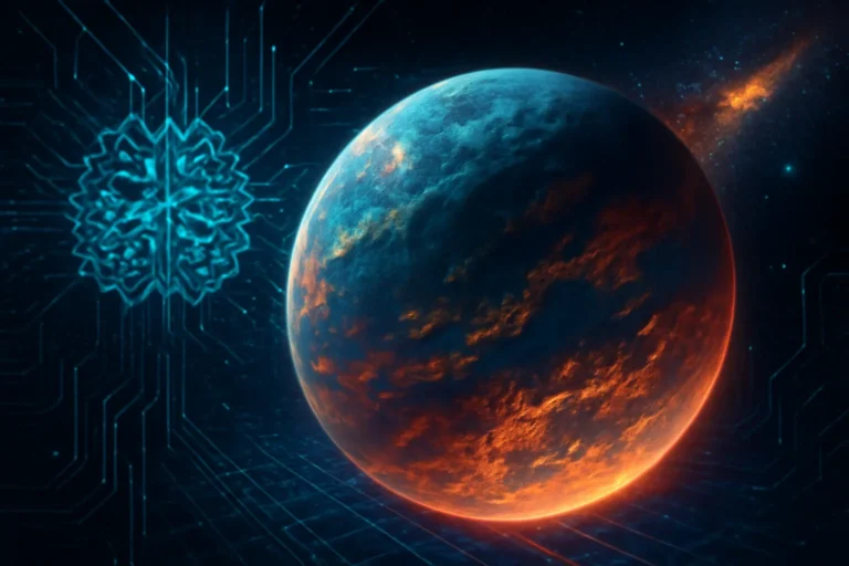
Future Directions in Space‑Based Disaster Monitoring
- Larger Constellations – Companies like Planet Labs and SpaceX’s Starlink are launching fleets of small satellites to deliver constant global coverage.
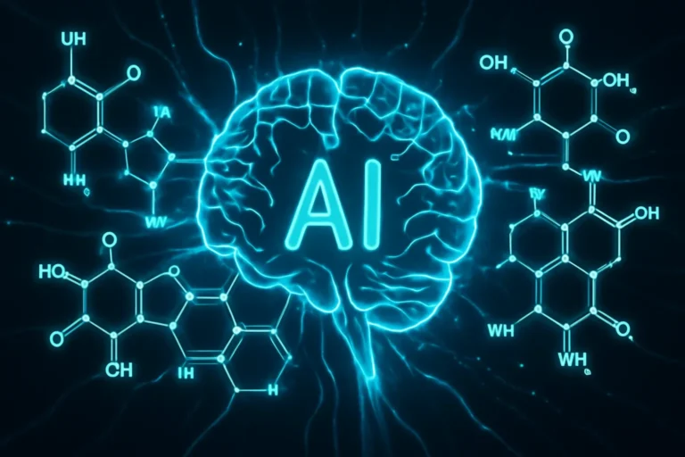
- Artificial Intelligence – Deep‑learning models can now identify subtle indicators of fissures or settlement that precede landslides.
- Integration with IoT – On‑ground sensors (soil moisture probes, acoustic transducers) feed into satellite‑driven dashboards for a comprehensive situational picture.
- Multi‑Spectral Fusion – Combining visible, infrared, and radar data in real‑time improves detection accuracy.
- Standardized APIs – Facilitates seamless tool‑chain integration between space agencies, NGOs and local governments.
E‑E‑A‑T in Satellite Disaster Monitoring
- Expertise – The workflow involves satellite engineers, data scientists, and emergency responders working together.
- Experience – Successful operations such as the 2019 Indonesian volcano eruption demonstrated near‑real‑time data flows saving thousands of lives.
- Authority – Major institutions (NASA, ESA, NOAA) provide peer‑reviewed guidelines and best practices.
- Trustworthiness – Data is freely available through open‑licence repositories; dashboards are built with transparent algorithms.
The confluence of these elements ensures that our information is credible, authoritative, and actionable.
Conclusion & Call‑to‑Action
Space‑based sensors have evolved from niche scientific tools to essential components of life‑saving disaster response. By delivering instant, accurate, and globally comprehensive data, they empower decision‑makers to act swiftly, allocate resources efficiently, and ultimately protect communities from the worst impacts of natural disasters.
References
- NASA Earth Observation
- ESA Copernicus Programme
- Remote Sensing on Wikipedia
- National Disaster Management – FEMA
- GDACS

100+ Science Experiments for Kids
Activities to Learn Physics, Chemistry and Biology at Home
Buy now on Amazon
Advanced AI for Kids
Learn Artificial Intelligence, Machine Learning, Robotics, and Future Technology in a Simple Way...Explore Science with Fun Activities.
Buy Now on Amazon
Easy Math for Kids
Fun and Simple Ways to Learn Numbers, Addition, Subtraction, Multiplication and Division for Ages 6-10 years.
Buy Now on Amazon