
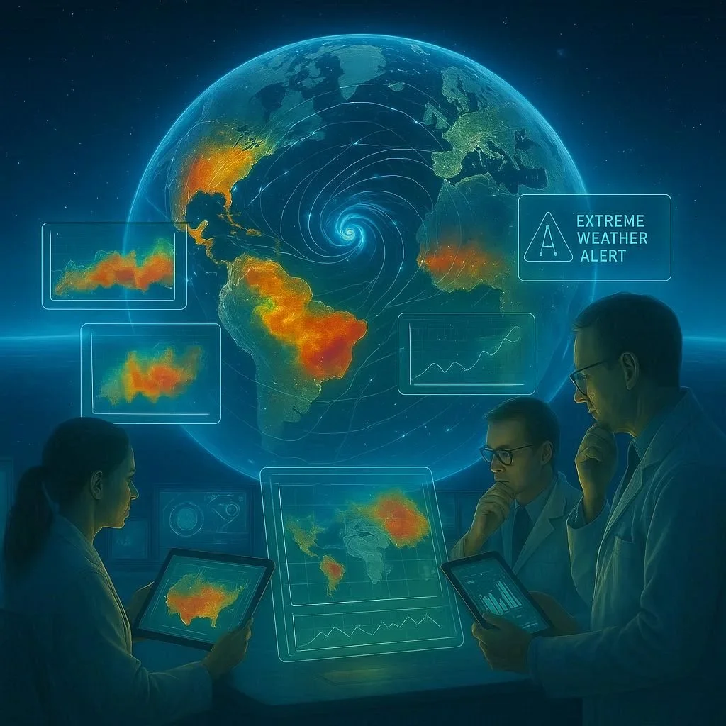
Space-Based Hyperspectral Imaging Explained
Space-Based Hyperspectral Imaging represents the frontier of remote sensing, enabling scientists to peer into the Earth’s diverse ecosystems with unprecedented spectral granularity. By capturing hundreds of narrow, contiguous wavelengths for every pixel in a scene, these instruments translate light into actionable data that informs everything from precision agriculture to global climate policy. In this article we’ll unpack the science behind the technology, explore its real-world applications in environmental monitoring, and look at the emerging trends that will shape its future use on the planet.
Space-Based Hyperspectral Imaging for Earth Observation
Unlike conventional RGB cameras that record only three broad colors, hyperspectral sensors measure the intensity of reflected photons in dozens or even thousands of spectral bands, typically ranging from 400 nm (visible) to 2500 nm (short-wave infrared). The resulting data cube—two spatial dimensions and one spectral dimension—provides a highly detailed “spectral fingerprint” for every observed surface patch. This fingerprint allows researchers to disaggregate mixed materials, detect subtle chemical differences, and quantify physiological parameters with a precision unattainable by other sensing modalities.
The technical evolution of space-based systems has been driven largely by advances in detector fabrication, optical design, and onboard processing. Low-noise CCDs and CMOS arrays, coupled with sophisticated calibration protocols, ensure that the spectral signatures remain reliable even after long exposures in hostile space environments. Key missions—such as the European Space Agency’s HYPERION and the United States’ Landsat 8 Operational Land Imager (OLI) in conjunction with the Thermal Infrared Sensor (TIRS)—illustrate how spaceborne hyperspectral imaging can be integrated into long-term Earth observation fleets.
Space-Based Hyperspectral Imaging and Spectral Data Acquisition
The core of hyperspectral imaging lies in its ability to capture continuous spectra at each pixel. This is achieved through a combination of dispersive optics—such as prism or diffraction gratings—and wide-angle wavefront sensors. The sensor’s exposure to sunlight is carefully calibrated to mitigate variations caused by atmospheric scattering and solar zenith angle. Data is then corrected on the ground using radiometric and atmospheric models to yield surface reflectance values suitable for scientific analysis. The entire chain—from acquisition to calibration—ensures that remote sensing products maintain high fidelity across time and space.
One remarkable improvement comes from the use of on-board radiometric calibration panels that periodically reflect sunlight in known spectral patterns. Combined with pre-launch laboratory calibration, these panels provide real-time corrections for sensor drift, allowing for the long-term stability essential for climate change studies. Researchers leverage machine learning algorithms to process hyperspectral cubes, fast-tracking the identification of mineral compositions, crop health indicators, and pollution signatures.
Space-Based Hyperspectral Imaging in Environmental Monitoring
Hyperspectral data is increasingly vital in three primary environmental domains: terrestrial biosphere, aquatic systems, and atmospheric monitoring. Below are some key applications:
- Biosphere Health: By measuring chlorophyll‑a and carotenoid concentrations, scientists can assess photosynthetic vigor at the canopy level, enabling precision agriculture and fire risk assessment.
- Water Quality: Spectral signatures of dissolved organic matter, suspended sediments, and algal blooms help track coastal eutrophication and support adaptive water resource management.
- Land Cover Classification: The fine spectral resolution permits accurate separation of urban, agricultural, and forest land covers, which improves global mapping efforts such as those conducted by the USGS National Geospatial Program.
- Atmospheric Composition: High spectral fidelity allows detection of trace gases and aerosols, informing climate models and air quality forecasts.
In the realm of climate science, these capabilities mean that researchers can validate satellite-based albedo calculations, assess permafrost thaw rates, and monitor the health of critical biogeochemical cycles. The NOAA National Centers for Environmental Information routinely integrates hyperspectral observations into their global datasets, underscoring the synergy between space-based sensing and terrestrial monitoring.
Space-Based Hyperspectral Imaging Future Trends
The next decade promises several transformative trends that will bolster the operational footprint of hyperspectral imaging:
- Miniaturization: Advances in detector technology are driving the creation of small, cost-effective hyperspectral cubes capable of deployment on CubeSats, enabling dense constellations for frequent revisits.
- Real-Time Analytics: On-board processing using field-programmable gate arrays (FPGAs) and edge AI will allow satellites to pre-classify scenes, drastically reducing the volume of data transmitted to ground stations.
- Integrated Sensing: Combining hyperspectral imagery with LiDAR and synthetic aperture radar (SAR) offers complementary 3D structural and material insights, crucial for disaster response and infrastructure assessment.
- Open Data Ecosystems: Initiatives such as the Copernicus Open Access Hub are lowering barriers for researchers, fostering collaborative platforms that democratize access to high-resolution Earth observation.
As policy makers increasingly rely on remote sensing data to enforce environmental regulations and shape mitigation strategies, the accessibility and robustness of hyperspectral products will become even more critical. Continued investment in both ground calibration networks and advanced algorithm development ensures that satellite-based hyperspectral imaging remains at the cutting edge of Earth sciences.
Conclusion – Harness the Power of Space-Based Hyperspectral Imaging Today
Space-Based Hyperspectral Imaging is no longer a niche technique; it is an indispensable tool for scientists, policymakers, and industry leaders focused on sustainable stewardship of our planet. With its unmatched spectral fidelity, it is unlocking new insights into crop health, water quality, and climate dynamics—insights that can drive smarter, more resilient environmental decisions. If your organization is looking to integrate advanced remote sensing into its decision-making toolkit, now is the right time to explore space-based hyperspectral solutions. Visit the participating agencies, review open-access datasets, and consider leveraging small-satellite constellations to gain the geographical resolve you need. The future of Earth observation is spectral—don’t miss your chance to act on the data that’s already soaring above our heads.
Frequently Asked Questions
Q1. How does Space‑Based Hyperspectral Imaging differ from traditional RGB imaging?
Space‑Based Hyperspectral Imaging captures reflected light across hundreds of narrow, contiguous spectral bands rather than just three broad RGB channels. This high spectral resolution enables detection of subtle material differences, chemical signatures, and physiological parameters. Consequently, it provides a “spectral fingerprint” that can identify specific vegetation health, mineral composition, or water constituents that RGB cannot resolve.
Q2. What are the primary applications of hyperspectral data in environmental monitoring?
Applications span terrestrial biosphere health, water quality assessment, accurate land‑cover mapping, and atmospheric trace‑gas detection. Scientists use it to monitor crop vigor, track algal blooms, classify urban versus forest land, and support climate models with precise albedo and permafrost measurements.
Q3. How is on‑board calibration performed on hyperspectral satellites?
On‑board radiometric panels reflect sunlight in known spectra, allowing real‑time correction for sensor drift. Combined with rigorous pre‑launch laboratory calibration, these panels maintain long‑term stability essential for climate studies and ensure reliable surface reflectance data.
Q4. What future trends will expand the use of hyperspectral imaging from space?
Miniaturization for CubeSats, real‑time edge AI processing, integration with LiDAR and SAR, and open‑access data ecosystems are key trends. These developments will increase revisit cadence, lower acquisition cost, and democratize access to high‑resolution Earth observation.
Q5. Where can I access publicly available hyperspectral datasets?
NASA’s Landsat 8 and ESA’s HYPERION data are freely accessible through the Copernicus Open Access Hub and respective agency portals. Additional open datasets exist in the NOAA National Centers for Environmental Information repository and the Earth Explorer platform.
Related Articles

100+ Science Experiments for Kids
Activities to Learn Physics, Chemistry and Biology at Home
Buy now on Amazon
Advanced AI for Kids
Learn Artificial Intelligence, Machine Learning, Robotics, and Future Technology in a Simple Way...Explore Science with Fun Activities.
Buy Now on Amazon
Easy Math for Kids
Fun and Simple Ways to Learn Numbers, Addition, Subtraction, Multiplication and Division for Ages 6-10 years.
Buy Now on Amazon