Satellite-Based AI Drives Precision Farming
In the age of global food demand and climate volatility, farmers are turning to advanced technology to optimize every square foot of their land. Satellite-based artificial intelligence (AI) systems have emerged as game‑changing tools, transforming how growers monitor crop health, allocate resources, and forecast yields. By combining high‑resolution imagery, machine learning, and real‑time analytics, these systems empower precision farming at an unprecedented scale.
How Satellite AI Works in Modern Agriculture
At the core of satellite-based AI is a symbiotic relationship between remote sensing data and sophisticated algorithms. Satellites orbiting Earth capture multi‑spectral images—visible, near‑infrared, and short‑wave infrared—every few days. AI models process this data to extract indicators such as chlorophyll levels, water stress, and nutrient deficiencies. The results are delivered to farmers via intuitive dashboards, enabling data‑driven decisions for irrigation, fertilization, and pest control.
Data Acquisition: From Space to Farm Gates
High‑frequency satellites like Planet’s Dove constellation or NASA’s Sentinel missions provide imagery at resolutions down to 3–10 meters. These platforms generate terabytes of data each day, which are ingested by cloud services such as Google Earth Engine or Esri’s ArcGIS. The raw data undergo calibration, atmospheric correction, and georeferencing before AI models can make sense of it.
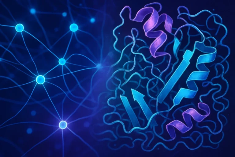
Machine Learning Models: Turning Pixels into Insights
Convolutional neural networks (CNNs) excel at texture recognition, making them ideal for classifying vegetation indices. Models trained on field‑level ground truth—soil samples, yield maps—learn to predict stress zones, weed infestations, and optimal planting densities. Transfer learning techniques allow these models to adapt quickly to new crops or regions, reducing the need for extensive manual labeling.
Integration with Farm Management Systems
Satellite AI outputs feed into precision farm platforms such as the USDA’s USDA website or World Bank agricultural tools, linking satellite insights with on‑farm sensors and variable rate application equipment. This integration ensures that recommendations are actionable and directly tied to farm machinery schedules.
The Impact on Yield and Resource Efficiency
Numerous studies confirm that satellite AI can boost yields by up to 15–20% while reducing inputs.
- Water Savings: AI‑driven irrigation maps identify drought‑prone cells, cutting water use by 30–40%.
- Nutrient Optimization: Precision fertilization reduces chemical runoff, saving up to 25% on nitrogen and phosphorus inputs.
- Early Disease Detection: Algorithms flag symptoms months before visual cues, enabling preemptive treatments.
- Harvest Timing: Yield prediction models help schedule harvests for maximum profitability.
Beyond productivity, satellite AI also supports sustainability goals by minimizing environmental footprints and aligning with circular‑economy principles.
Challenges and Future Directions
While the promise is clear, there are hurdles to widespread adoption.
Data Accessibility and Cost
Although open‑source imagery exists, competing proprietary datasets can be pricey. Cloud‑based analytics platforms also require ongoing subscriptions, posing financial barriers for smallholders.
Algorithm Transparency and Trust
Farmers need to understand the rationale behind AI recommendations. Explainable AI (XAI) frameworks are emerging to provide context, such as visual overlays indicating risk scores.
Integrating Low‑LATENCY Earth Observation
Real‑time decisioning demands near‑real‑time data. Projects like the European Space Agency’s ESA Copernicus program aim to halve revisit times, bridging the gap between observation and action.
Hybrid Data Fusion
Combining satellite data with drone imagery and ground‑based sensors can refine model accuracy. Future research focuses on scalable fusion techniques to support multi‑scale analysis.
How Farmers Can Get Started
To harness satellite AI, growers should follow a phased approach:
- Define Objectives: Identify key performance indicators—yield, water use, pesticide cost.
- Select Platforms: Choose a satellite provider (e.g., Planet, Sentinel) and an analytics service (e.g., Google Earth Engine).
- Baseline Data Collection: Conduct field surveys, install soil moisture probes, and record historical yields.
- Deploy Models: Start with generic crop models, then customize using on‑site calibration.
- Integrate & Iterate: Sync outputs with farm management software, continuously validate predictions, and refine algorithms.
Many agricultural extension offices now offer workshops on AI analytics, providing hands‑on training and demo datasets.
Conclusion: The Next Frontier in Farming
Satellite-based AI systems are no longer a futuristic concept—they are operational, cost‑effective tools that already lift yields and reduce inefficiencies across the globe. By converting raw spaceborne imagery into actionable insights, these systems enable farmers to treat their fields like hyper‑intelligent, responsive ecosystems. The convergence of advanced imaging, cloud computing, and machine learning heralds a new era of sustainable, data‑backed agriculture.
Ready to transform your farm? Explore satellite AI solutions today and plant the seeds for a smarter, greener tomorrow.
Frequently Asked Questions
Q1. What is satellite-based AI in agriculture?
Satellite-based AI combines remote sensing imagery with machine‑learning models to assess crop health, predict yields, and optimize resource use in real time.
Q2. How often do satellites capture data useful for farming?
High‑frequency constellations like Planet’s Dove and NASA’s Sentinel provide images every 1–3 days, enabling timely decision making.
Q3. Can small‑scale farms afford satellite AI solutions?
Open‑source datasets and cloud‑based analytics offer cost‑effective options; many extension services also provide workshops and demo datasets to reduce entry barriers.
Q4. How does satellite AI improve water usage?
By generating irrigation maps that identify drought‑prone cells, satellite AI can cut water consumption by 30–40%, improving efficiency and sustainability.
Q5. What is the future of real‑time satellite analytics?
Programs like ESA’s Copernicus aim to halve revisit times, while hybrid data fusion with drones and ground sensors will refine accuracy, making near‑real‑time decisioning a reality.
Related Articles

100+ Science Experiments for Kids
Activities to Learn Physics, Chemistry and Biology at Home
Buy now on Amazon
Advanced AI for Kids
Learn Artificial Intelligence, Machine Learning, Robotics, and Future Technology in a Simple Way...Explore Science with Fun Activities.
Buy Now on Amazon
Easy Math for Kids
Fun and Simple Ways to Learn Numbers, Addition, Subtraction, Multiplication and Division for Ages 6-10 years.
Buy Now on Amazon