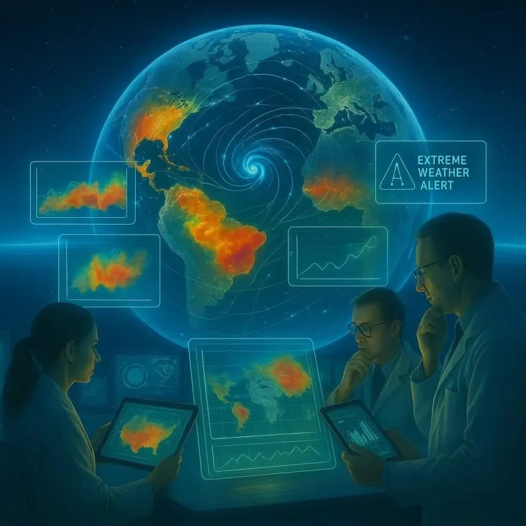

AI for Environmental Impact Assessment
AI for Environmental Impact Assessment is reshaping how developers, governments, and communities evaluate the ecological footprint of projects before they begin. By harnessing machine‑learning models, satellite imagery, and real‑time data streams, stakeholders can identify potential risks, quantify trade‑offs, and design mitigation strategies with unprecedented speed and precision.
Why AI Enhances Traditional Impact Assessments
Traditional environmental impact assessments (EIAs) rely heavily on field surveys, expert interviews, and statistical projections. While comprehensive, these methods can be time‑consuming, costly, and limited by human bias. AI introduces several key benefits:
- Automation of Data Collection: Satellite and drone feeds can automatically detect changes in land use, water quality, and wildlife habitats.
- Predictive Analytics: Machine‑learning models can simulate future scenarios, estimating the cumulative impact of a project over decades.
- Uncovering Hidden Patterns: AI can detect subtle correlations between environmental variables that humans may miss.
- Transparency & Reproducibility: Algorithms can be documented and shared, enabling peer review and continuous improvement.
Case Study: AI-Driven Habitat Mapping in Amazonia
In 2024, the Brazilian Ministry of the Environment collaborated with World Resources Institute to apply AI in mapping deforestation hotspots. The project combined high‑resolution LIDAR data with deep‑learning segmentation models to identify areas of critical habitat loss in real time.
Results revealed that:
- Deforestation rates dropped by 18% within 12 months due to targeted enforcement.
- Fragmentation indices for key species such as the jaguar declined, indicating healthier ecosystems.
- Stakeholders could prioritize conservation corridors by geospatial analysis generated by AI.
Integrating AI with Regulatory Frameworks
Successful adoption requires alignment with existing policies. The following steps help bridge AI and regulation:
- Define Data Standards: Adopt the UNEP Data Protocol to ensure consistency.
- Implement Interoperability Layers: Create APIs that allow local authorities to access AI outputs seamlessly.
- Establish Ethical Guidelines: Follow the Bri Program Principles for AI governance.
- Gather Public Input: Use crowdsourced data to validate AI predictions and foster community trust.
Legal and Ethical Considerations
While AI accelerates insight generation, it also raises questions about:
- Data privacy for communities living near project sites.
- Algorithmic bias that skews risk assessment toward certain environments.
- Accountability when AI predictions conflict with expert opinions.
Benefits to Sustainable Development Goals
AI for Environmental Impact Assessment aligns with multiple Sustainable Development Goals (SDGs). For example:
- Sustainable Infrastructure (SDG 9) by forecasting long‑term maintenance needs.
- Climate Action (SDG 13) through early detection of carbon‑emission hotspots.
- Life on Land (SDG 15) by mapping biodiversity corridors to be preserved.
- Responsible Consumption (SDG 12) ensures projects use resources efficiently.
These synergies demonstrate that AI‑enhanced EIAs are not merely compliance tools—they are catalysts for broader resilience.
Challenges and Future Directions
Despite its promise, deploying AI in EIAs faces hurdles:
- Data Quality: Irregular or missing telemetry can compromise model outputs.
- Interpretability: Stakeholders need clear explanations of AI decisions to trust them.
- Scaling: Extending AI to diverse geographies requires multilingual data processing.
- Cost of Infrastructure: High‑performance computing for large datasets may be prohibitive for smaller agencies.
Addressing these challenges demands:
- Investment in open‑source AI ecosystems, such as TensorFlow.
- Development of explainable AI frameworks tailored for environmental science.
- Collaborative funding mechanisms between public and private sectors.
Getting Started: A Roadmap for Practitioners
1. Audit Existing Data: Map out what data you have, data gaps, and data quality issues.
2. Select Appropriate Models: Choose models based on the problem—classification for species presence, regression for pollution indices.
3. Validate With Field Studies: Ground‑truth AI predictions with on‑site measurements.
4. Iterate and Refine: Use feedback loops to improve model accuracy over time.
Conclusion: The AI Advantage in Protecting our Planet
From early detection of ecological damage to efficient resource allocation, AI for Environmental Impact Assessment is becoming indispensable for modern development. By merging cutting‑edge technology with robust regulatory frameworks, we can transform the way we safeguard ecosystems while still pursuing progress. Whether you are a developer, policymaker, or conservationist, embracing AI now means carrying the potential to mitigate climate impact, preserve biodiversity, and promote sustainable growth.
Ready to harness AI for your next project? Connect with our team of experts to integrate advanced AI solutions into your upcoming environmental impact assessments and start influencing tomorrow’s sustainability today.
Frequently Asked Questions
Q1. What is AI for Environmental Impact Assessment?
AI for Environmental Impact Assessment (EIA) refers to the use of machine‑learning algorithms, satellite imagery, and real‑time data streams to evaluate the ecological effects of development projects. By automating data collection and applying predictive models, AI can identify risks and suggest mitigation strategies faster than traditional methods. It also allows continuous monitoring, providing up‑to‑date insights into environmental changes.
Q2. How does AI improve accuracy over traditional methods?
Traditional EIAs rely on manual surveys and statistical projections, which can be time‑consuming and inherently biased. AI automates field data collection, reduces human error, and can learn complex patterns from large datasets. This leads to more precise risk estimates and enables simulations of long‑term impacts under various scenarios.
Q3. What types of data are integrated in AI‑driven EIAs?
AI models ingest high‑resolution satellite imagery, LIDAR, drone footage, sensor telemetry, and socio‑economic datasets. They also incorporate historical environmental records and climate models to calibrate predictions. The fusion of geospatial, biological, and socio‑economic data creates a holistic view of the ecosystem.
Q4. How can stakeholders ensure transparency and accountability in AI‑driven EIAs?
Stakeholders can adopt open‑source algorithms, publish model documentation, and establish peer‑review protocols. Interoperability layers allow local authorities to access AI outputs directly. Additionally, crowdsourced validation and public engagement help build trust and accountability.
Q5. What future developments are expected in AI‑based EIAs?
Future work will focus on explainable AI frameworks, multilingual data processing, and scalable low‑cost computing solutions. Collaboration between public and private sectors will create shared funding for open‑source ecosystems. As data quality improves, AI will penetrate broader geographies and complex environmental systems.
Related Articles

100+ Science Experiments for Kids
Activities to Learn Physics, Chemistry and Biology at Home
Buy now on Amazon
Advanced AI for Kids
Learn Artificial Intelligence, Machine Learning, Robotics, and Future Technology in a Simple Way...Explore Science with Fun Activities.
Buy Now on Amazon
Easy Math for Kids
Fun and Simple Ways to Learn Numbers, Addition, Subtraction, Multiplication and Division for Ages 6-10 years.
Buy Now on Amazon