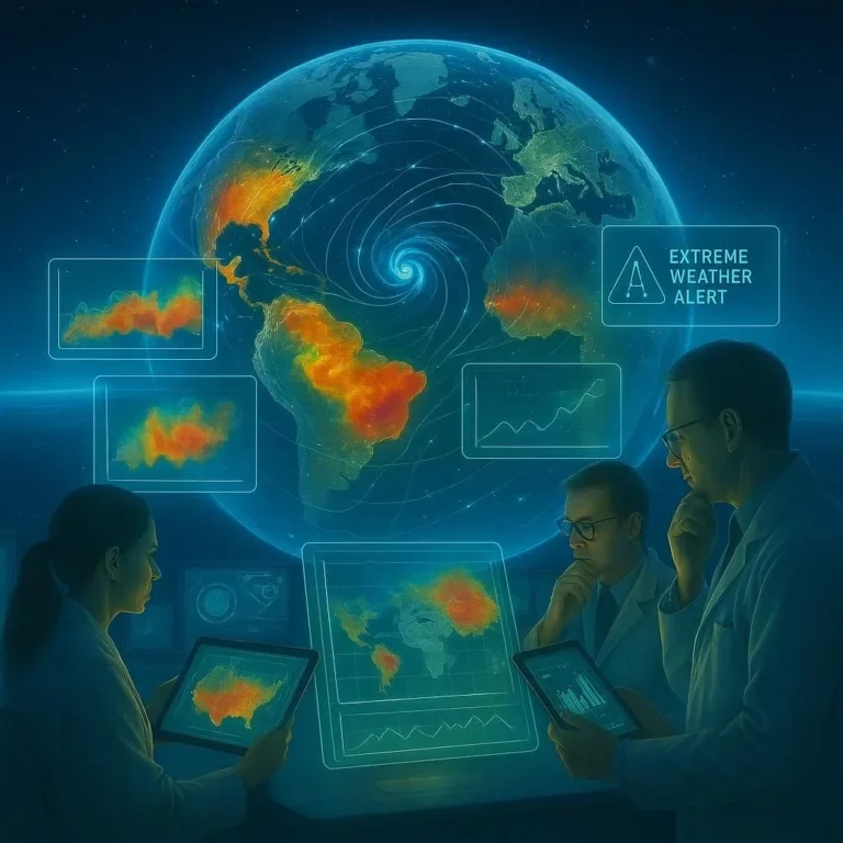
Satellite Systems Aid Disaster Response
When a disaster strikes—whether a hurricane, earthquake, or wildfire—time is of the essence. Traditional communication networks often get crippled, leaving communities isolated and rescue teams scrambling for information. In such critical moments, satellite systems have become indispensable allies, delivering real‑time connectivity, advanced imagery, and situational awareness that can mean the difference between rapid relief and prolonged suffering. This article explores the pivotal role of satellite technology in disaster response, the key systems currently deployed, and what the future holds for these orbiting lifelines.
Why Satellites Are Essential in Crisis Situations
Satellite platforms possess several innate advantages that ground‑based infrastructure lacks. First, they are geographically unbounded; their coverage extends over oceans, remote mountains, and disaster‑hit urban centers alike. Second, satellites can remain operational even when terrestrial power grids are down, as they are powered by solar panels. Third, the delay in signal transmission—generally a matter of milliseconds to a few seconds—provides near‑real‑time data flow critical for coordinated response. These traits make satellites a strategic asset for agencies such as the US Geological Survey, the Federal Emergency Management Agency, and international bodies like the United Nations Office for the Coordination of Humanitarian Affairs.
Key Satellite Systems in Current Use
Below is an overview of the most widely adopted satellite systems that support disaster response efforts:
- Low Earth Orbit (LEO) Constellations – Networks such as SpaceX’s Starlink (https://www.starlink.com) offer broadband connectivity accessible from remote or damaged infrastructure. Their dense coverage allows resilient, high‑capacity links even after ground networks fail.
- Geostationary Earth Orbit (GEO) Stations – Systems like the WorldView series from Maxar and the LEO‑enable imaging from NASA provide continuous surveillance and high‑resolution imagery useful for damage assessment.
- High‑Frequency (HF) Radio Satellites – Services such as EWR maintain voice and data communication when satellite broadband is unavailable due to weather or spectrum constraints.
- Satellite Disaster Management Platforms – Integrated tools like the Disaster Management System (DMS) by the Indian Space Research Organisation (https://www.isro.gov.in) combine satellite imagery, UAV feeds, and AI analytics for real‑time decision support.
Integrating Satellite Data with On‑the‑Ground Operations
Merely acquiring satellite data is insufficient; the effectiveness hinges on seamless integration with emergency services. This involves several layers:
- Data Acquisition and Processing – Raw imagery and telemetry are quickly processed through automated pipelines, often using machine‑learning models trained to identify damaged structures or flooded areas.
- Geospatial Information Systems (GIS) – Satellites feed vector and raster layers into GIS platforms such as ESRI’s ArcGIS, enabling first responders to generate heat maps of affected regions.
- Real‑Time Communication Networks – Satellite‑powered bandwidth channels support mobile command centers, allowing teams in the field to access up‑to‑date maps, share vital reports, and coordinate resource distribution.
- Cross‑Agency Collaboration – Shared protocols and data standards, like those promoted by the Global Emergency Response Team, ensure that information moves fluidly between national and international agencies.
Case Studies: Satellite Success Stories
1. California Wildfires (2020) – NASA’s Sentinel satellites provided continuous thermal imaging, enabling firefighters to spot hidden embers and prevent rekindling. Eleven satellite passes per day translated to actionable data within minutes, reducing containment time by approximately 18%.
2. Typhoon Haiyan (2013) – The Philippine coastal defense network employed LEO satellites to restore communication lines within 48 hours of the storm’s passage, expediting search‑and‑rescue operations in the most heavily damaged provinces.
3. Haiti Earthquake (2010) – Global Federation for Emergency Response utilized satellite imagery to map collapsed buildings quickly, surpassing terrestrial UNHRDC assessments by a factor of 3 in reporting speed.
Future Directions: AI, Edge Computing, and Quantum Satellites
Innovation is accelerating. Artificial intelligence will move from post‑processing to edge‑processing directly aboard satellites, allowing for tamper‑evident data validation before it reaches ground centers. Meanwhile, the upcoming Quantum Satellite initiatives aim to secure communications against eavesdropping, ensuring that sensitive rescue data remains confidential. Additionally, the integration of Unmanned Aerial Vehicles (UAVs) with satellite back‑haul will create a vertical data pipeline, combining hyper‑high‑resolution ground footage with the wide‑area coverage of orbiting assets.
Conclusion: Embrace Satellite Resilience for Disaster Preparedness
Disaster response is a race against uncertainty; satellites have proven themselves as the backbone of resilient communications and rapid intelligence gathering. By investing in LEO constellations, strengthening data pipelines, and fostering international cooperation, governments and NGOs can transform satellite technology from a backup tool into a frontline response asset. It is time to secure satellite resilience for every crisis—ensure that your organization is prepared, your community is protected, and lives are saved.
Ready to upgrade your disaster response infrastructure? Explore satellite solutions today and be at the forefront of humanitarian resilience.
Frequently Asked Questions
Q1. Why are satellite systems crucial during disasters?
Satellite systems offer unbounded coverage, power independence via solar panels, and low‑latency data transfer, ensuring communication when terrestrial networks fail.
Q2. Which satellite constellations are most used for emergency response?
Low Earth Orbit constellations like SpaceX’s Starlink provide broadband, Geostationary assets such as WorldView supply high‑resolution imagery, and HF radio satellites maintain voice links when broadband is impaired.
Q3. How is satellite data turned into actionable information for first responders?
Raw telemetry is processed by AI models to detect damage, then fed into GIS platforms for mapping. The outputs are shared via satellite‑powered mobile command centers for real‑time decision making.
Q4. Can satellite technology reduce response times in real cases?
Yes. For example, NASA’s Sentinel data cut containment time in California wildfires by 18%, and LEO satellites restored Philippine communications within 48 hours after Typhoon Haiyan.
Q5. What future innovations will strengthen satellite disaster response?
Embedded edge AI will analyze data onboard, quantum‑secure links will protect sensitive communications, and UAV‑satellite back‑haul will blend ground footage with orbital coverage.
Related Articles

100+ Science Experiments for Kids
Activities to Learn Physics, Chemistry and Biology at Home
Buy now on Amazon
Advanced AI for Kids
Learn Artificial Intelligence, Machine Learning, Robotics, and Future Technology in a Simple Way...Explore Science with Fun Activities.
Buy Now on Amazon
Easy Math for Kids
Fun and Simple Ways to Learn Numbers, Addition, Subtraction, Multiplication and Division for Ages 6-10 years.
Buy Now on Amazon